Water levels at the Mission gauge currently read just under 6 metres, according to the River Forecast Centre.
On Saturday morning, a were placed under an evacuation order.
| Evacuation orders have been issued for properties in Deroche, marked in red on FVRD map. |
Residents living in the unprotected flood plain areas along the lower Fraser River could be under an evacuation order if the gauge levels reach 6.3 metres. About 250 properties are on alert in 91ԭ��.
As of Saturday afternoon, the River Forecast Centre estimated that water levels could reach as high as 6.4 metres on Sunday, and worsen Monday. The centre has placed the lower Fraser under a high streamflow advisory.
The last time levels were this high was in 2012.
Crazy how high the Fraser river currently is flowing near
— John Folka (@JFOLKA)
READ MORE:
READ MORE:
About 260 properties are on evacuation alert, and have been told by officials to prepare to leave on short notice.
Ahead of Victoria Day long weekend, volunteers and city staff across the Lower Mainland prepared for rising waters with sandbagging.
Katzie First Nation set sandbags and berms in place in hopes of reinforcing the expected overflow.
Surrey and 91ԭ�� students were helping on the south side of the river while Maple Ridge and Pitt Meadows students joined efforts on the north side.
Even the Vedder is running pretty strong.
— Greg Knill (@Chillout2Day)
is starting to rise into
— Grisha Kruglov (@lunafiko)
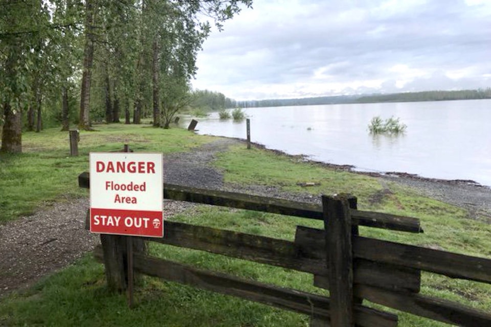
Dewdeny Regional Park is closed till the water recedes.
— Dave Kennedy (@geordiemuppet)
Progress made today sandbagging at to protect property from the rising Fraser River
— Marc Dalton (@MarcDalton)
ashley.wadhwani@bpdigital.ca
Like us on and follow us on .


